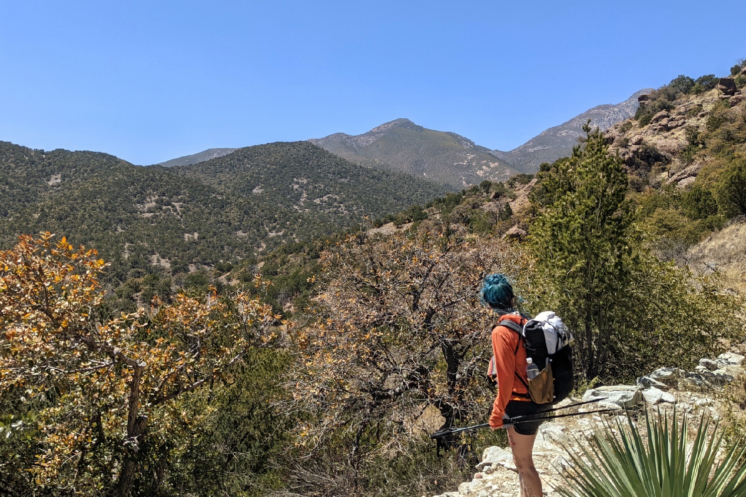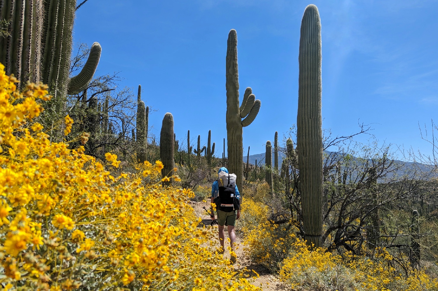
A hike on the Arizona Trail (AZT) is a truly unique experience. In fact, the Sonoran Desert is the most biodiverse desert region in the world – boasting a whole host of plant and animal life that can only be found here. The AZT will take you on an unforgettable 800-mile trek like no other through an ever-changing landscape.
We absolutely loved hiking this trail, and we think you’ve made a good decision in choosing to walk this path. We’ll give you all the resources you need for a successful adventure on the AZT in this guide. And if you haven’t quite decided what your next trail will be, scope out your other options from our extensive catalog of trip guides.
Quick Facts
- Distance: 800 miles
- Time Needed: 6-8 weeks
- Highest Elevation: 9,141 ft. – Kaibab Plateau
- Lowest Elevation: 1,646 ft. – Gila River
- Elevation Gain (approx.): 113,000 ft.
- Best Time to Hike: Most people start in the south and go north (NOBO) during the springtime – usually starting in early or mid-March and finishing in April. Hikers going north to south (SOBO) typically start in October after monsoons have finished, and they complete the trail in November.
- Permits: There’s no permit for the AZT, but Colossal Cave Mountain Park, Saguaro National Park & Grand Canyon National Park require camping permits if you plan to stay. SNP also requires an entrance fee.
- Difficulty: Challenging
Highlights
- Amazingly diverse range of landscapes, plants, and animals
- Tons of wildflowers in the spring/changing leaves in the fall
- Hiking through the Grand Canyon
- Solitude in a rugged wilderness environment
- Friendly trail towns and robust network of trail angels (nice people who help out thru-hikers along the trail corridor)
- Well-marked and maintained
- Feeling amazingly capable and confident at the end of the journey
- You get a handmade copper belt buckle for finishing
Lowlights
- Not as social as many other long-distance trails
- Some sections are very rocky
- Overgrown prickly plants in some sections
- Can be hard on shoes/gear
- Finding water is a challenge in dry years
- Snakes, spiders & scorpions if you’re bothered by creepy-crawlies
- A lot of sun exposure
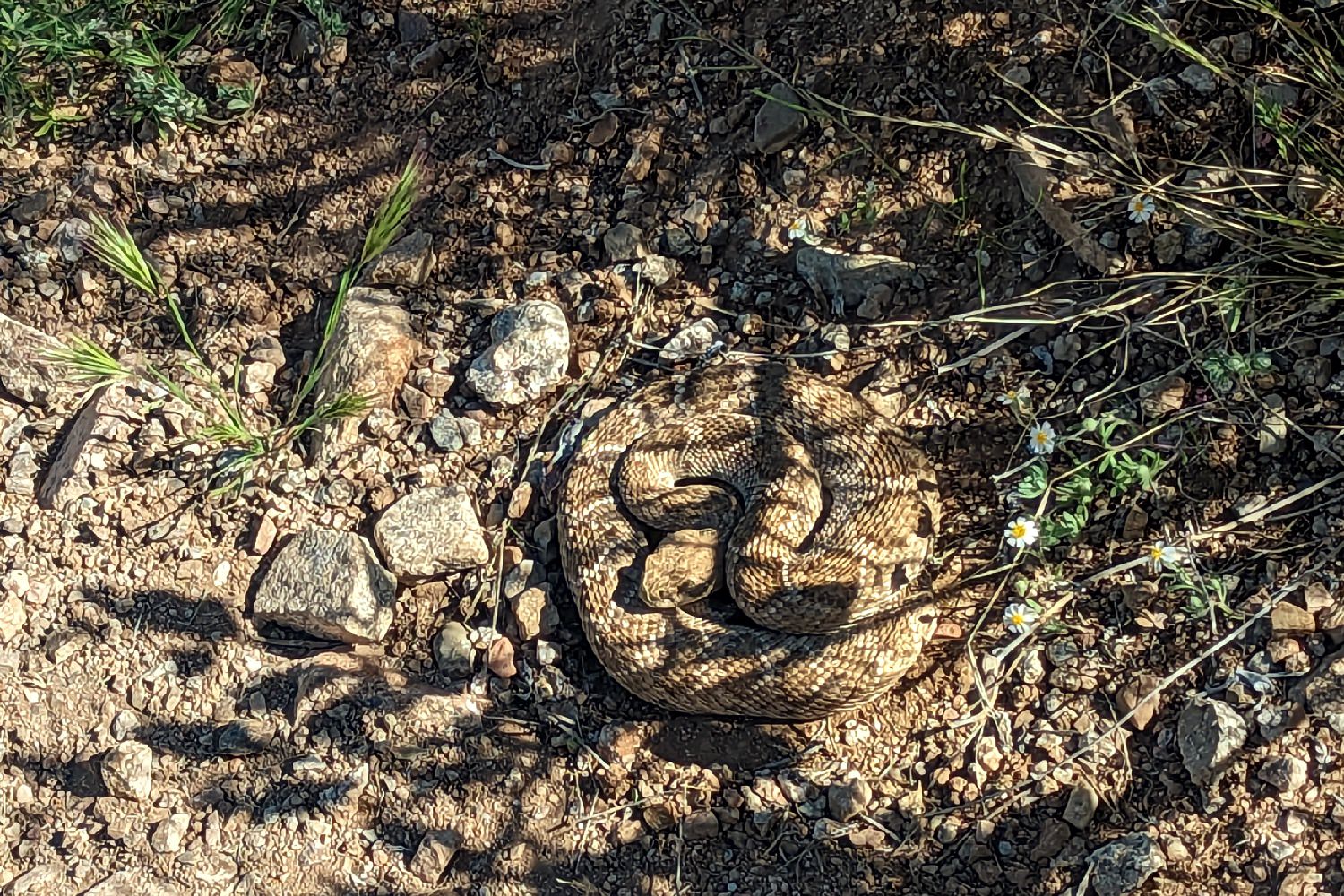
Best Time to Hike
The Arizona Trail has two distinct seasons for thru-hikes, but there are opportunities to do many sections year-round. The biggest considerations for when you start your hike will be temperature and water availability. Desert environments are prone to wild temperature swings and quick changes in weather patterns. You may experience snow, heavy rain, or 100°+ temperatures on this trail.
Northbound (NOBO) is the most common direction for hikers to complete a thru-hike – the NOBO season starts in the spring. Most hikers will set off from the Mexican border in early to mid-March with the goal of finishing before May. This timeline allows you to enjoy more water than the fall hiking season due to winter snowmelt, and you can expect temperatures to stay above freezing most nights and below 90° most days. Weather and water are easier to plan for in the spring, so this is the season we generally recommend.
SOBO hikers begin their journey south from the Utah border in fall – typically in early October – and aim to complete the trail before the end of November. Water availability in the fall depends almost entirely on how wet the summer monsoon season is in Arizona, so it changes greatly from year to year. But generally, fewer water sources are flowing during the SOBO season. Fall temperatures can vary a lot along the AZT. You’ll likely experience some nighttime temperatures well below freezing for the first 250 or so miles on the plateau sections, and you could encounter lingering 100°+ temperatures the further south you go.
Many people choose to section-hike the AZT, breaking the 800-mile journey into smaller chunks – and this has big advantages for picking the most pleasant conditions to hike in. Section hiking allows you to choose what’s most important to you – skipping the harsh Arizona heat, hitting the trail when water is most abundant, or avoiding freezing temperatures and snow – for each section of the trail so you can just enjoy the walk.
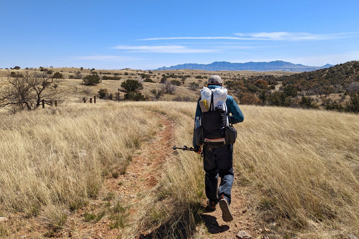
How Long Does it Take to Hike?
It takes most hikers about 6-8 weeks to complete a hike on the AZT. Some backpackers certainly hike this trail in less time, but the terrain, weather, and availability of water can make big-mile days difficult. Most people take the trail at an enjoyable pace and calculate in a few“zero” days (rest days) and “nero” days (short for “nearly zero”) to allow the body to recoup. This is a good option if you want a long and challenging experience but don’t quite have the 3-5 months it takes to finish off the Pacific Crest Trail or Appalachian Trail.
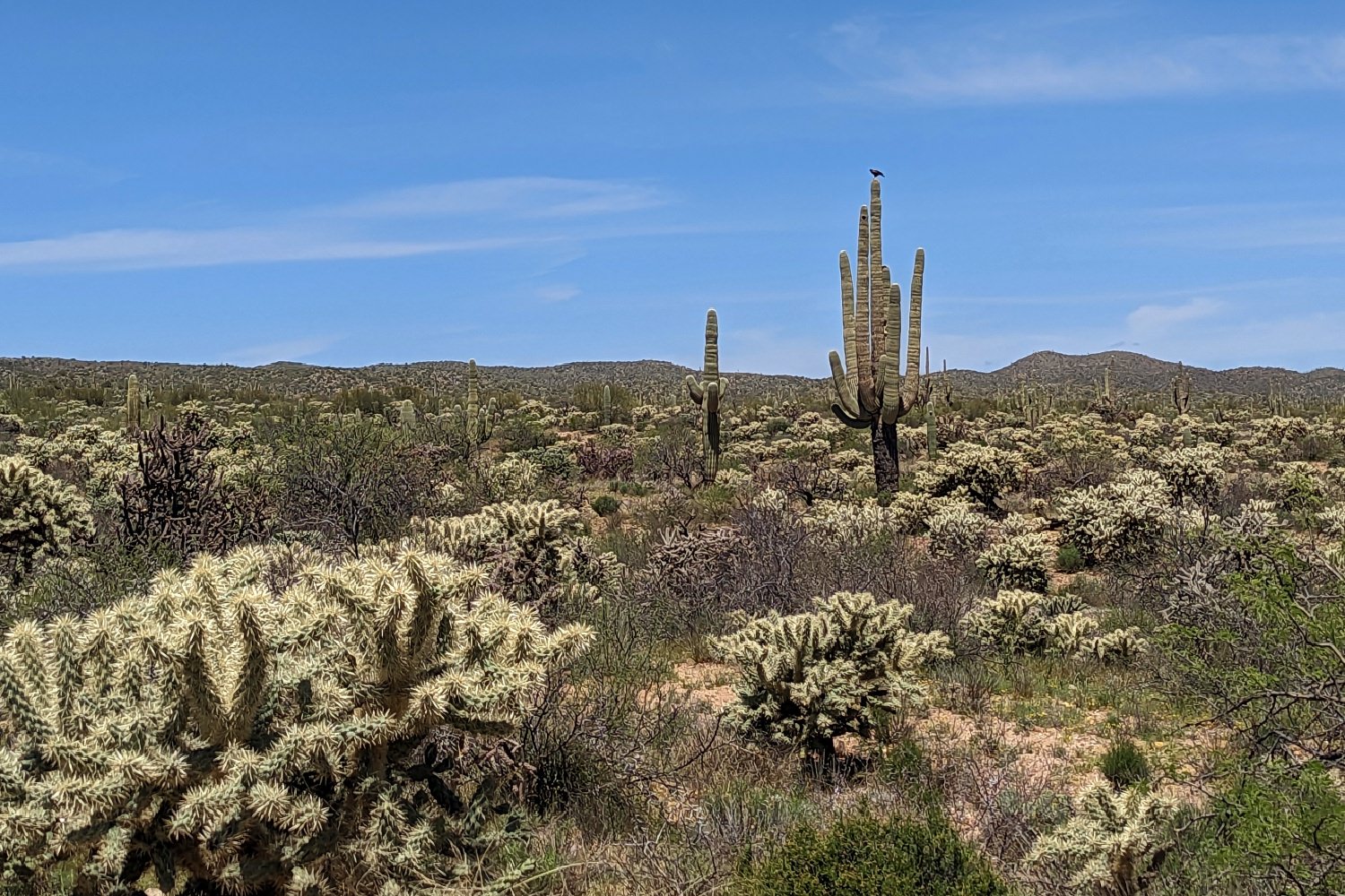
Difficulty of Trail
The AZT is well-maintained, well-marked, and easy to follow for most of the hike, so navigation is rarely an issue. The main difficulties on this trail are the sun exposure, availability of water, terrain/environment, and the length of the trail.
SUN EXPOSURE
The AZT cuts a path through the Sonoran Desert, and as you might expect, it’s a pretty sunny place. There’s very little shade on most sections of the trail, so we consider sunscreen, a sun shirt, sunglasses, and a sun umbrella essentials for this hike. Keeping your skin protected is super important for your overall health, and having a shaded place to take a break under your umbrella can do wonders for morale on especially hot days.
See our 20 Tips for Backpacking in the Desert Guide for more advice on staying safe and comfortable on the AZT.
WATER
It may surprise you to learn that most of Arizona’s water sources are recharged by snow. The state doesn’t see much rainfall outside of its summer monsoon season, but the high-elevation areas get a decent amount of snow in most years. This is why most people opt for a spring NOBO hike on the AZT – water is more abundant. Don’t take that to mean you’ll see it often, though. Unless you hike in a really high snow year, you’re likely to have a few large gaps (20+ miles) between water sources along your 800-mile journey.
It’s a good idea to have the ability to carry at least four liters of water for really hot, dry stretches. We carried two 1-liter Smartwater bottles and a Platy Bottle per person, as well as a Vargo BOT that doubled as a cookset and extra water capacity.
TERRAIN/ENVIRONMENT
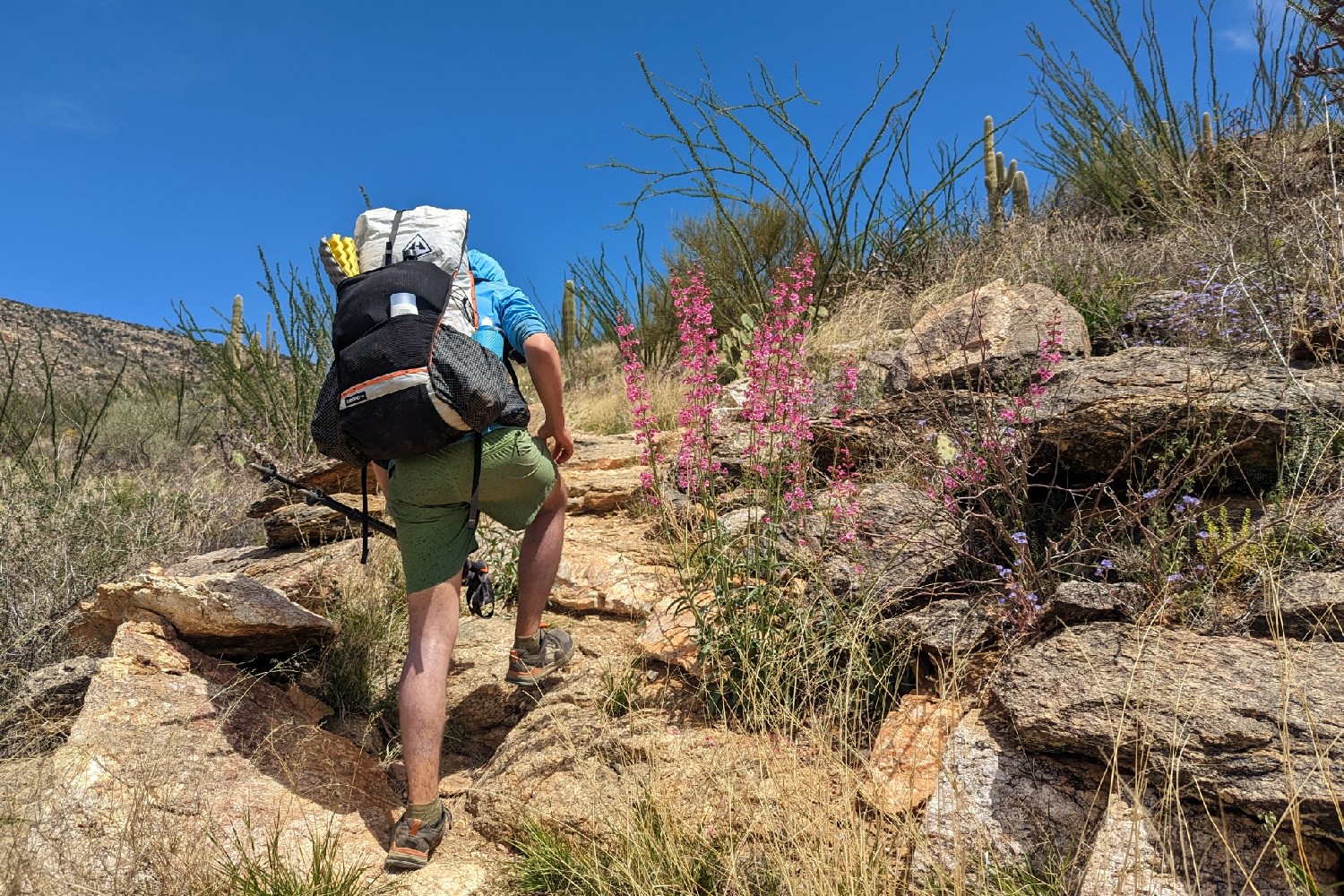
Many sections of the AZT are incredibly rocky, and it can really take a toll on your shoes and the bottom of your feet. Many hikers won’t make it through the whole trail with a single pair of shoes, so it’s important to factor this in when building your budget.
You should choose footwear with ample cushion if your feet aren’t accustomed to hiking on rocks all day because it can become downright painful after a few hours straight of stepping on jagged rocks.
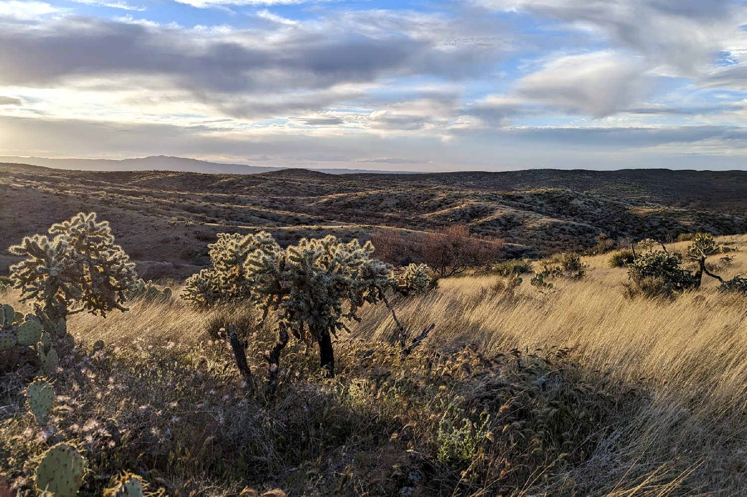
Of course, you’ll also encounter tons of Arizona’s iconic cacti along the journey. These plants are beautiful, but they can cause some real damage if you get too close. In particular, you have to be careful around “jumping cholla” (pronounced choy-a). These cacti will leave you covered in prickles from the lightest brush against its fruits, and what’s worse is that they drop spine-covered balls all over the ground that can be tough to avoid. Be sure to bring a small pair of tweezers in your first-aid kit to pull cactus spines off of your clothing, skin, and gear.
TRIP LENGTH
The AZT is 800 miles long which is a huge physical challenge, but it also requires a large time and money commitment. We typically budget $2-$3 per mile for a thru-hike, and we recommend letting your family and workplace know about your plans as far in advance as possible to arrange for time away. Not everyone has the freedom or financial resources to step away from society for so long, so many hikers choose to complete the trail in smaller sections.
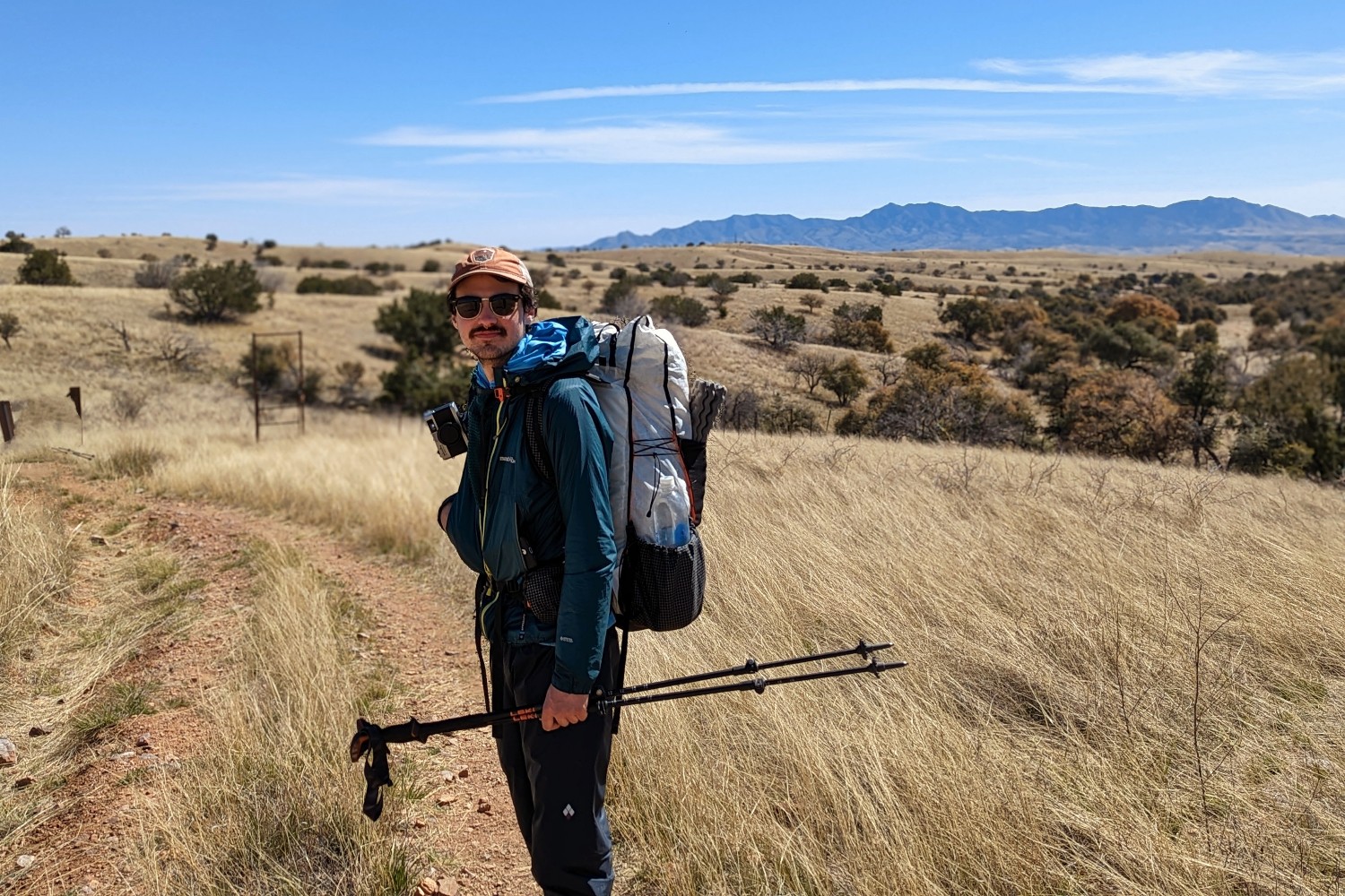
Northbound vs. Southbound Routes
Northbound (NOBO) is the more common direction to travel on the AZT, but both options have their benefits. We hiked the first 300 miles NOBO in the spring and then did the remaining 500 miles southbound (SOBO) in the fall, so we got a pretty good idea of the pros and cons of both directions.
NOBO
PROS
- Nicer average temperatures for a majority of the trail
- Water is usually more abundant in the spring NOBO season
- You save the Grand Canyon for (almost) last
- There are more people on trail to interact with if you’re looking for a social experience
- Resupply towns get farther apart the further north you go, so you hit longer food carries after you’re already warmed up
- Wildflowers bloom in the spring
CONS
- The trail starts with some tough climbs from the southern terminus
- Lingering snow might remain at high elevation
SOBO
PROS
- In our opinion, the trail increases in beauty as you travel south
- The first 250 miles or so are relatively easy (except for the Grand Canyon), so you get a nice warm-up
- Aspens in the north change color in the fall
CONS
- Fewer people to interact with if you’re looking for a social experience
- Towns are more spread out in the north, so you have longer food carries before you’re warmed up
- You may deal with early-season snow in the north and lingering high temperatures in the lower desert
Getting There
NOBO
If you’re hiking NOBO on the AZT, the easiest way to get to the southern terminus is to fly into Tucson and hire a shuttle from there. We used the Finding True North shuttle service which was reasonably priced and our driver was friendly and safe. If you go with a different shuttle driver, be sure they’re willing to take you all the way to the trailhead at Montezuma Pass. It requires driving almost nine miles up a somewhat rough dirt road.
SOBO
There are a couple of different ways to get to the northern terminus, but the easiest option is to fly into Page, AZ via the Phoenix airport and then get a shuttle or a ride from a trail angel to the Stateline Campground.
Planning Your Itinerary
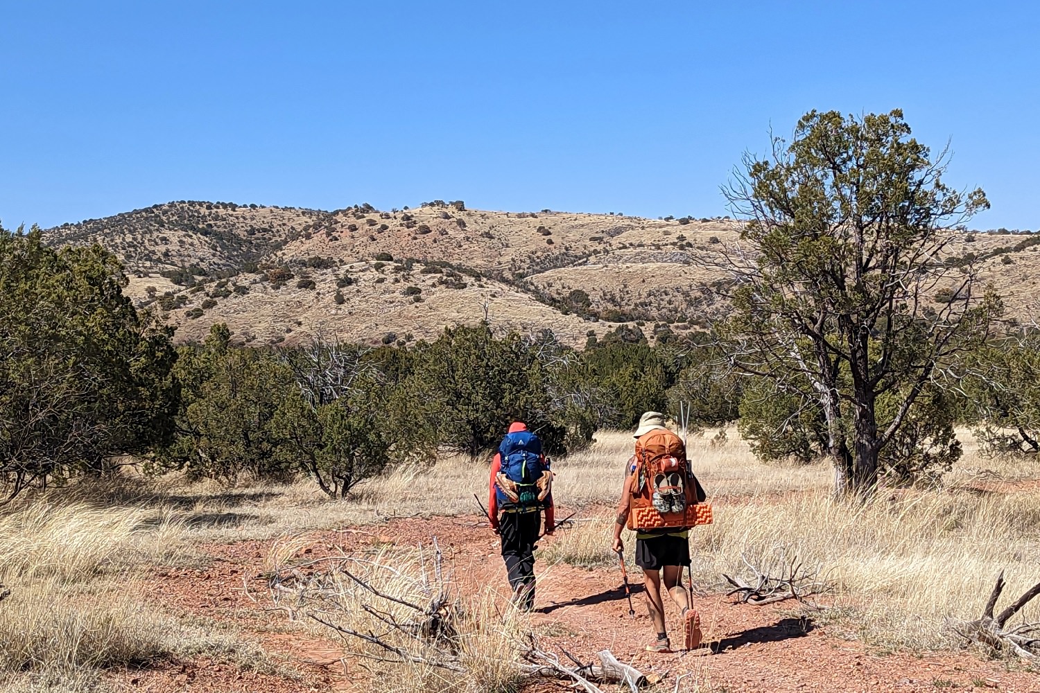
Planning a loose daily itinerary isn’t necessary, but we’ve learned from past thru-hikes that it’s very helpful. Most people take 6-8 weeks to complete the AZT, with an average of around 14-20 miles a day. We recommend overestimating the time it will take you to complete the trail because it’s easier to get off early than it is to get off late if you have obligations to return to. Think about your ability, hiking style, zero days, and a little leeway for unexpected hiccups when creating your mileage plan.
The FarOut app is our preferred resource for planning and navigation on trail because you can see where water sources and potential campsites are, what services are available in trail towns, and you can leave and read comments other hikers left about the status of water or places they enjoyed in towns.
Another invaluable resource for this hike is the Arizona Trail Association’s (ATA) website. Here you can find descriptions of each section of the trail (called passages on the AZT), access a list of shuttles and trail angels, and so much more.
Permits
There isn’t a permit for the AZT, but you pass through two national parks that do require permits.
You must obtain a backcountry permit for Saguaro National Park before entering the park boundary, and there are only two places to camp there – Manning Park and Grass Shack – which also require permits of their own. You can get entrance permits and camping permits.
Grand Canyon National Park also requires permits for camping in the park. Most hikers will stay in at least one of these sites: North Rim, Bright Angel, and Mather (South Rim). There are backcountry offices on both rims of the park, and you should visit one of these to talk to a ranger about camping permits. They’re usually able to get you a site at the bottom of the canyon within one or two days of your arrival if you’re not planning to do rim-to-rim in one day. We stayed at Bright Angel Campground in the canyon, and we highly recommend taking this opportunity. Outside of an AZT thru-hike it’s pretty tough to get permits to camp in the canyon.
Colossal Cave Mountain Park also requires a permit (purchased at the Cave Shop) if you plan to camp at one of their two campgrounds, but there’s plenty of free dispersed camping along the trail before and after the park. We recommend skipping the fee area and finding some flat ground to sleep on on the AZT.
Water
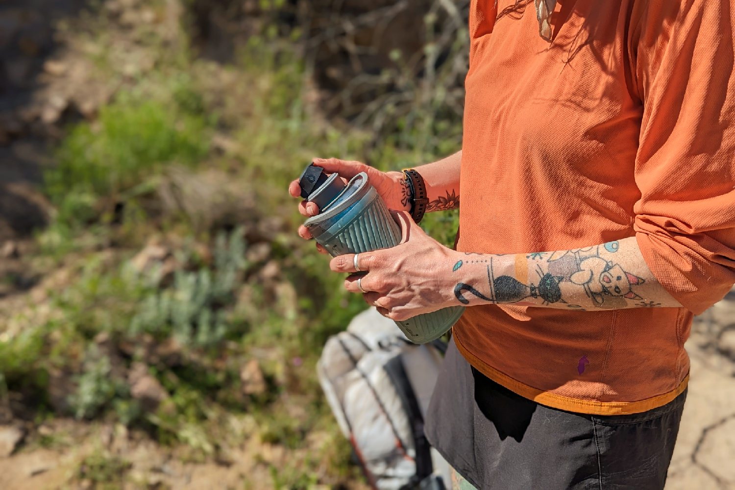
Water availability on the AZT fluctuates drastically based on your start date, snowpack, and the weather. Water sources can be far apart and unreliable in the desert, and most of them are off trail. We recommend having a water capacity of no less than four liters with you just in case. Lightweight foldable bladders, like Platy Bottles, come in handy for big water carries.
Our best advice is to stock up wherever you can, never leave a source thirsty, and carry more than you think you need. The FarOut app is great for planning your water carries because you can see other hikers’ reports about which water sources are flowing ahead. Still, there’s no guarantee you’ll find water at a source when you get there.
Many of the water sources along the AZT are very muddy and contaminated by livestock, so it’s crucial to pack a reliable water filter. We used a Platypus Quickdraw and a Katadyn BeFree because they’re lightweight and relatively easy to clean in the field. Because there’s so much dirt in many of the water sources, you should expect to have to backflush your filter regularly to restore the flow rate.
Using electrolyte mixes in your water will also help mask any weird flavors and keep you better hydrated.
Food Storage
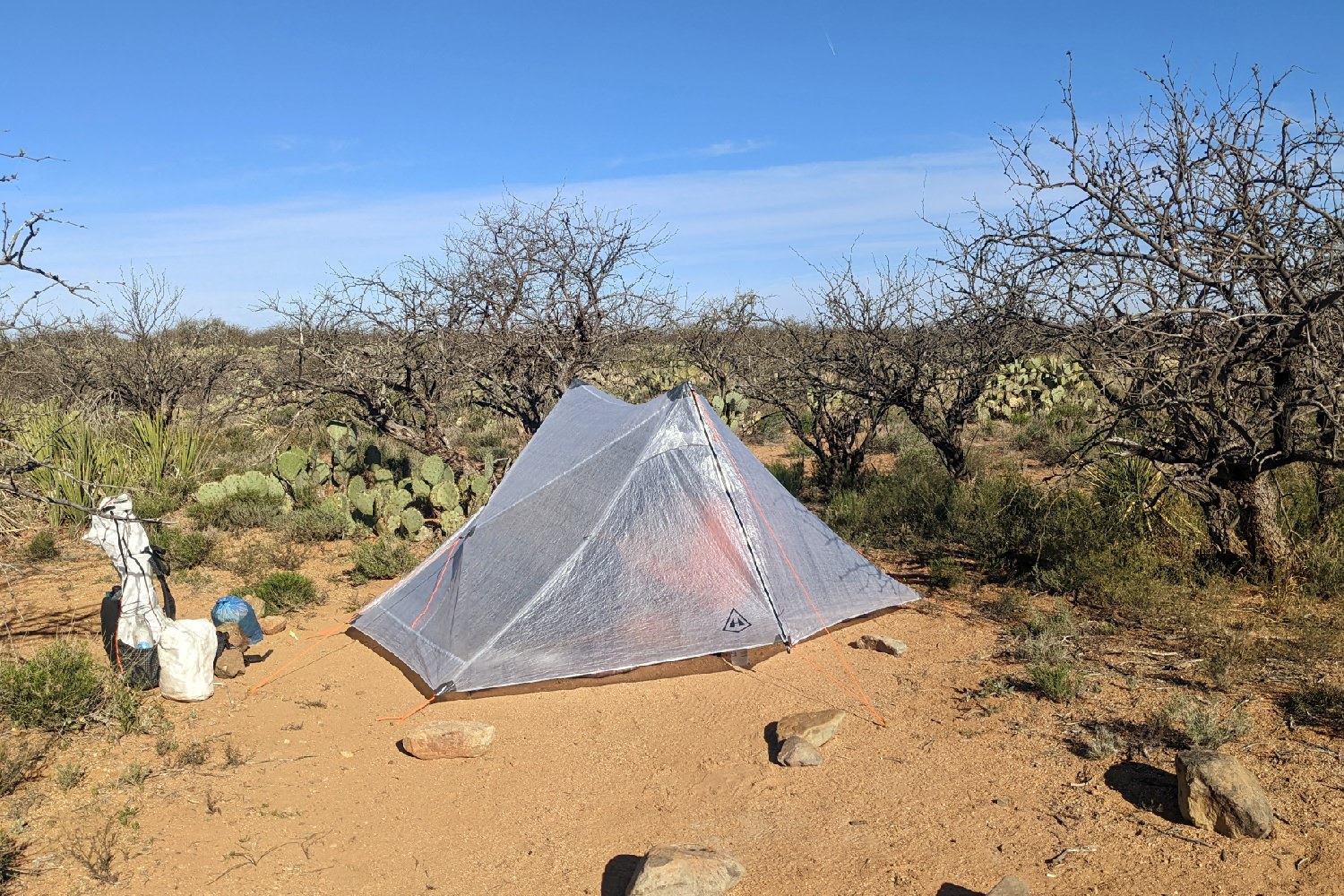
There are bears, mice, and other scavengers along the AZT, so proper food storage is a must. We each carried an Ursack Major to keep our food safe from animals, but most of this trail isn’t conducive to hanging a bear bag. We usually just placed our Ursacks outside of the tent where we could see them in case we needed to scare away a critter.
Where to Resupply
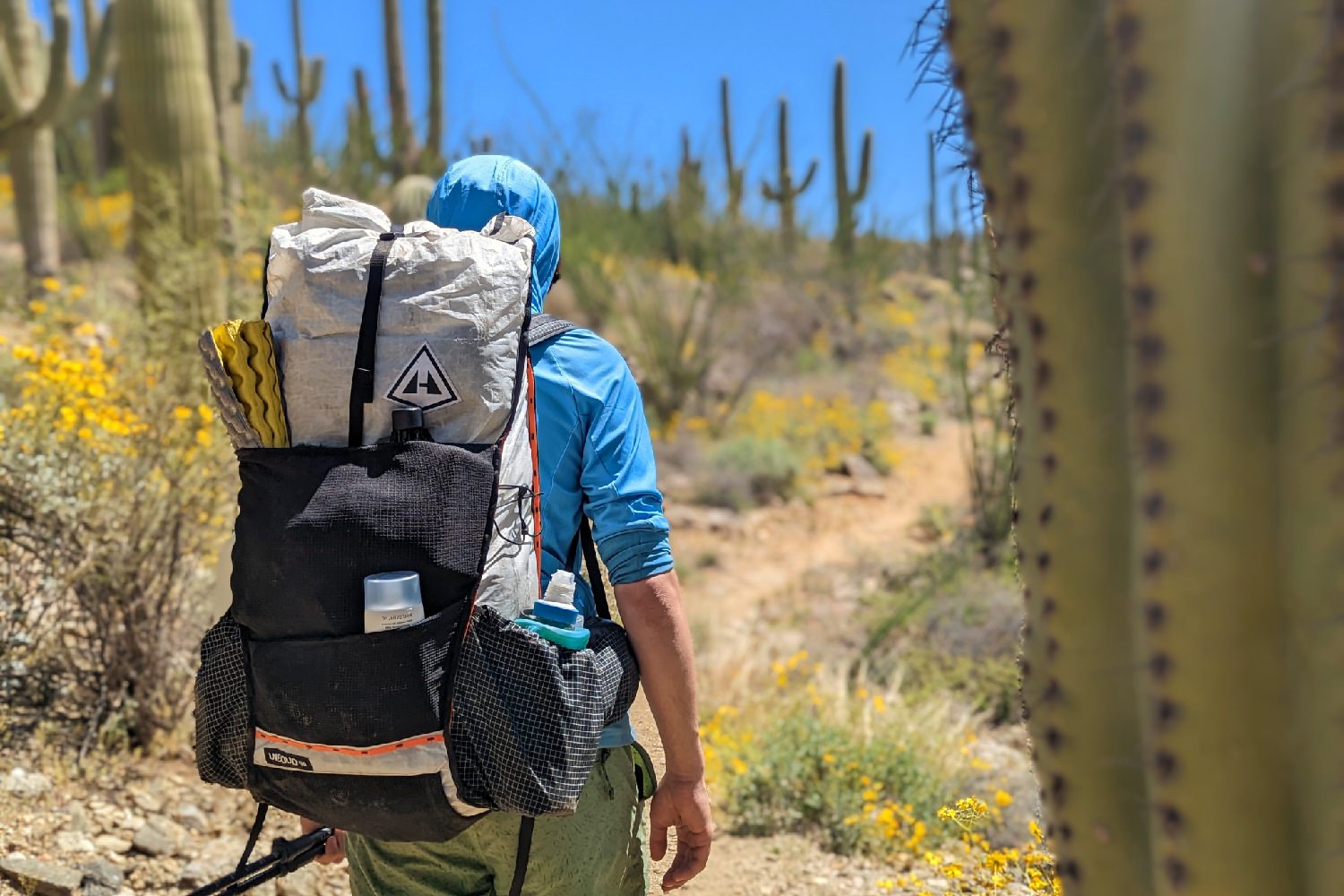
Because you’ll be on trail for a few weeks, you won’t be able to carry all your food at once – you’ll need to stop and resupply periodically. Most people resupply 8-10 times, stopping every 80-100 miles. Resupplying often is pretty easy for most of the AZT if you want to cut down on food weight in your pack, but be aware that town stops can be expensive and time-consuming.
You can resupply by mailing boxes ahead of time to a post office or a place in town that offers to hold boxes for hikers (like a gear shop) or getting a ride into a nearby town for the grocery store. If your resupply plan involves mailing packages, you’ll want to ship them well in advance to make sure they arrive in time for you to pick them up.
If you’re mailing your resupply boxes to a post office (make sure the PO in your target town accepts general delivery), this is how you’ll want to address your box:
- Your Name
c/o General Delivery
Town Name, AZ 01234
Arriving By: ETA
It’s also a good idea to write your name or put a special marker (like colorful doodles or stickers) on all sides of the box to make it easier for postal workers to find it amongst the heaps of other boxes.
Patagonia (AZT NOBO mile 52.4)
This was our favorite trail town – everyone was so friendly, the town itself is very charming, and the grocery store is one of the best we’ve seen in a small town.
Stay here: Terra Sol is a very comfortable and welcoming place to pitch your tent, do laundry, and take a shower. Hikers have access to an outdoor kitchen, a fire pit, and a screened shelter, and the heart of town is a short walk from here for resupply.
Eat here: We ended up at Gathering Grounds by chance since it was the only thing open when we came through, but it didn’t disappoint. The sandwiches and drinks here are awesome, and other hikers seem to agree that this is one of the best eats in town.
Resupply here: Red Mountain Foods is a good option for vegans/vegetarians/people with dietary restrictions. They have lots of nice produce and a great selection of bars. Patagonia Market’s selection is a bit more basic than Red Mountain but we used it to supplement our resupply. They have many hiker staples, like ramen, dehydrated refried beans, and electrolyte mixes.
Colossal Cave Mountain Park (AZT NOBO mile 125.7)
This park is a short jaunt off the trail, and they’ll hold resupply packages for thru-hikers. We sent boxes here, and the staff let us sit on the patio and charge our electronics while we enjoyed some fries and prickly pear margaritas from the snack stand with a group of other hikers.
Summerhaven (AZT NOBO mile 190.2)
This is a tiny town that you’ll pass right through on trail at the top of the Mt. Lemmon climb. We don’t recommend staying here since it’s a spendy resort town, but we grabbed a few things from the surprisingly well-stocked Mt. Lemmon General Store to get us to Oracle the next day. You’ll probably hear buzz about the Cookie Cabin on the way here, but we don’t think it’s worth a stop. The pizza and cookies were very expensive (though they’re also quite large) and really just weren’t that good – even after the strenuous climb up Lemmon. Save your money and treat yourself to a nice, big meal on your next town stop.
Oracle (AZT NOBO mile 204.3)
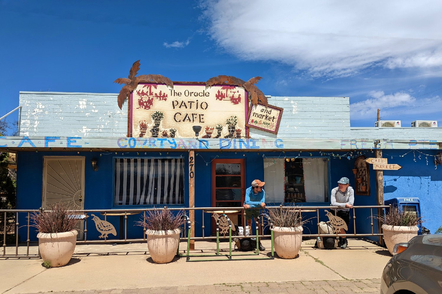
Oracle isn’t the world’s greatest trail stop, because it’s not very walkable and there aren’t many accommodations for staying overnight. But if you’re not picky, the town does have a Dollar General and a great coffee shop.
Stay here: We didn’t actually stay in Oracle, but everyone recommends the Resting Oak – a house owned by a couple that caters to hikers. Their info can be found on the FarOut app in the center of Oracle. We were feeling fancy, so we split an Airbnb with a friend in the nearby town of Catalina for some grilling and bathtub soaks.
Eat here: The quirky Way of the Bean Coffee Club is technically a private club, but the owner gives hikers free day passes. The drinks here were very good, and the atmosphere is super relaxing. They also serve breakfast food and pastries.
Resupply here: Your only resupply options in Oracle are Dollar General and Circle K (a small convenience store). Vegans, vegetarians, and other folks with dietary restrictions may have a hard time finding good food options. The town of Catalina has a Bashas’ grocery store and is 20 minutes south. You may be able to hitch or take an Uber (what we did) there if necessary.
Kearny (AZT NOBO mile 268.4)
We didn’t go to Kearny, but we kind of wish we had. A lot of AZT hikers say this is their favorite town on the trail, and we heard nothing but good things about the kind people there.
Stay here: There are some folks in town that regularly host hikers, but they’re by word-of-mouth. You’ll have to get their info from the FarOut app if you want to stay at their hiker haven in town.
Eat here: Old Time Pizza is the spot everyone talks about from Kearny, and it’s the ultimate hiker-friendly stop from what we hear. The owner regularly gives hikers rides to and from trail.
Resupply here: There’s an IGA grocery store in town that has a good selection and gives thru-hikers a free coffee and donut for stopping in.
Superior (AZT NOBO mile 306.3)
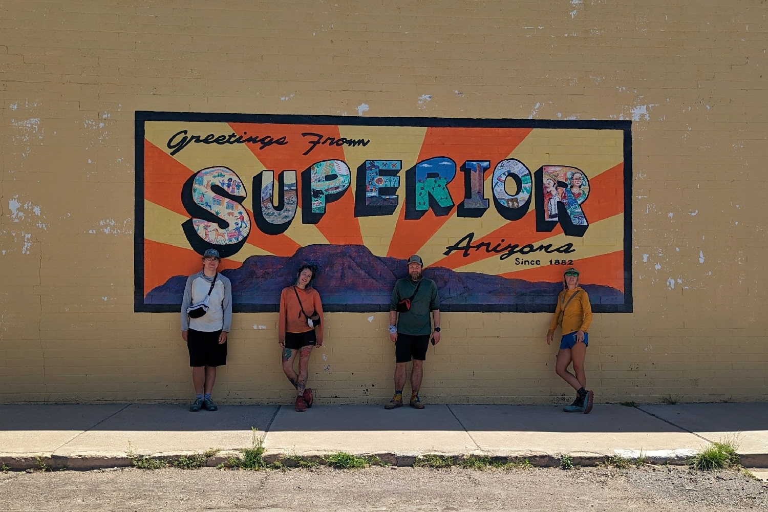
Superior is a close second on our list of favorite AZT trail towns. We put our hike on pause here in the spring, so this was our official finishing spot in the fall. It’s an old mining community that has a ton of Wild West charm.
Stay here: We stayed at the Copper Mountain Motel in the spring, and the family that runs it was very friendly and accommodating. The rooms are basic but cute, and there’s a Family Dollar across the street as well as several restaurants nearby.
When we returned in the fall, we stayed with the legendary trail angel MJ whose info can be found on the FarOut app. She welcomes hikers into her home and treats them like family, and she’s only a couple of blocks from the downtown strip where the better grocery store is.
Eat here: We absolutely loved Miner’s on Main. It’s a 1950s-style diner in the heart of downtown that serves breakfast staples, burgers, and milkshakes.
Mountainside coffee is also fantastic – we went there multiple times, and the staff members were all so sweet.
Resupply here: There’s a Family Dollar right in town on the main highway if you’re in a hurry, but we prefer the selection at the Save Money Market on the historic strip.
Roosevelt Lake Marina (AZT NOBO mile 349.6)
The marina at Roosevelt Lake holds packages for hikers, so we sent a box here. There’s a small store that wouldn’t be a good option for a full resupply, but it does have a few hiker staples if you’re just looking for a couple of basics.
Payson (AZT NOBO mile 390.6)
Payson is about a 30-minute ride from trail, but we were in desperate need of some new socks so we caught a hitch in. This is a pretty big town with several restaurants and three big grocery stores right across the street from each other.
Stay here: We enjoyed a stay with some trail angels down the road in Tonto Basin, but Payson has a bunch of motels to choose from. The Majestic Mountain Inn has reasonable rates and is close enough to the grocery stores to walk.
Eat here: We ate at The Pinon Café which served big portions and was absolutely delicious. We of course had to treat ourselves to pumpkin drinks at Starbucks too since the grocery store we shopped at has one inside.
Resupply here: Walmart, Bashas’, and Safeway are all on the main road through town, and they’re right across the street from each other. We chose Bashas’ simply because it’s an Arizona chain, but any of these will have all the options you could ever want.
If you need to replace gear, there’s a Big 5 Sporting Goods, Walmart, and a very hiker-friendly footwear shop called Rim Runners.
Pine/Strawberry (AZT NOBO mile 462.2)
Pine is a mile off trail, so most hikers (us included) just walk into town. The small community of Strawberry is only three miles up the road, and we had no problem getting there and back from Pine.
North of Pine, resupply options are more limited. There are a few places near the trail that accept resupply packages, but they’re only open seasonally. We opted to do longer food carries and only hit the major resupply stops because the trail becomes much easier north of here.
Stay here: We stayed at the Strawberry Chalet N Stay, which was very hiker-friendly. They had reasonable room rates and gave us a voucher to use toward a meal at the bar next door.
There aren’t many accommodations in the town of Pine, but many hikers choose to stay there with a trail angel.
Eat here: Early Bird Cafe in Pine was a big highlight for us – they have absolutely massive portions, reasonable prices, friendly staff, and the food is great. Definitely try one of the specialty hot cocoas!
THAT Brewery in Pine is another very hiker-friendly establishment that has a hiker box, accepts mailed resupply packages, and donates some of the proceeds from one of their beers to the Arizona Trail Association. They’ve also got standard brewery food offerings like burgers and sandwiches.
If you stay in Strawberry, you’ll likely eat lunch or dinner at the Sportsman’s Chalet since the motel gives you a voucher to use there. Across the street is Pie Bar which gets a long line the second they open, but we braved the crowd to get some empanadas to pack out for trail.
Resupply here: The small Ponderosa Market in Pine has an okay selection of hiker food. If you have dietary restrictions it might be better to mail yourself a box to THAT Brewery or hitchhike 20 minutes down the road to Payson.
Flagstaff (AZT NOBO mile 570.4)
The city of Flagstaff can be accessed a few different ways – most hikers choose to hike in on the urban route which starts at NOBO mile 570.4. The “official” trail is actually considered the equestrian route, and walking either option counts as having completed the section. If you choose to hike the equestrian route, be aware that there’s a camping ban from about mile 569 to mile 606, but you can get an easy hitch into town from mile 590.
Stay here: We arrived in Flagstaff on a Saturday, so hotels and motels were pretty expensive. There are a ton of room options in town though, and most hikers just choose whatever is cheapest at the time and most centrally located. Flagstaff has a pretty good bus system that’ll get you where you need to go. We chose to stay with a trail angel in town and had a great experience.
Eat here: Flagstaff has all the eateries you could ever want, and there are many options for vegans and vegetarians as well. We didn’t try it, but most hikers say MartAnnes Burrito Palace hits the spot.
Resupply here: This is a city, so any grocery store you want is here. We split our resupply between Fry’s and Whole Foods (for the abundant vegan proteins). There’s also an REI in town as well as several local outfitters, so this is the best time to replace your shoes if they’ve been eaten up by all the rocks on trail.
South Rim Grand Canyon (AZT NOBO mile 698.8)
The South Rim of the Grand Canyon has a whole village with a surprisingly well-stocked and reasonably priced grocery store, laundry, and showers. This is a good place to rest and take in the sights before moving on.
This is the best option for resupply between the Grand Canyon and the northern terminus, as the North Rim is only open a few months out of the year and has a less impressive store. Some hikers choose to stop in the small community of Jacob Lake at mile 771.8, but we think carrying some extra food weight through the Grand Canyon from here is the better bet.
Stay here: There’s a designated thru-hiker site at Mather Campground near the village. Check in with a ranger at the campground kiosk, and they’ll set you up with a nice spot for a small fee.
Eat here: There’s a small deli in the grocery store that has okay food, but it’s pretty expensive. We opted to cook our meals at the campsite.
Resupply here: There’s a general store in the village that stocks all the hiker staples, and we were able to do a full resupply here for surprisingly cheap.
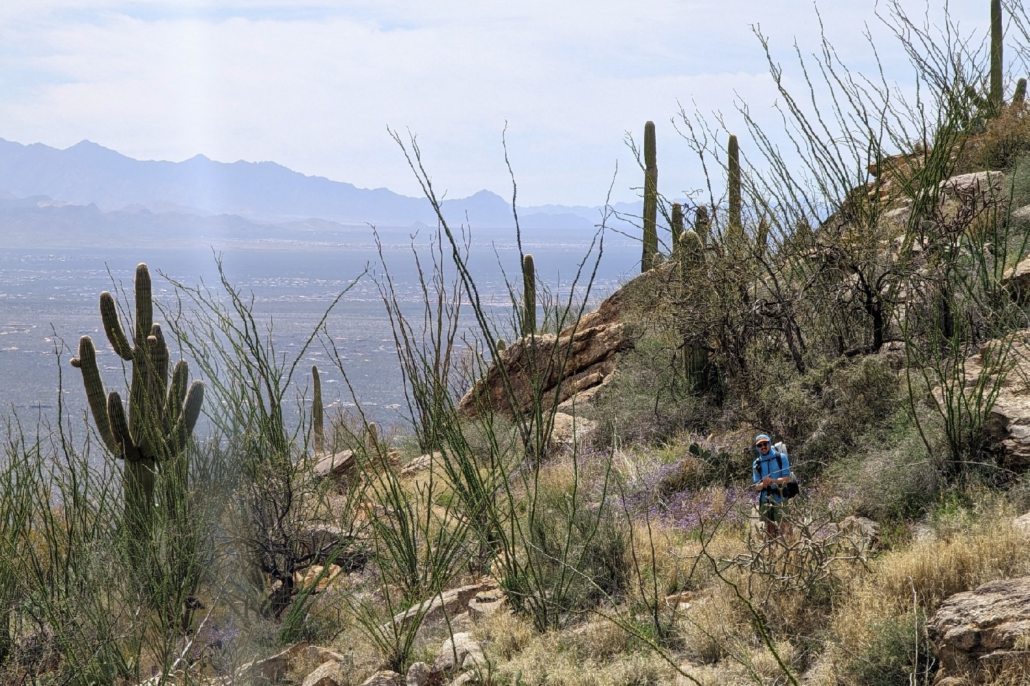
Backpacking Gear – What to Pack
It’s critical to keep your pack weight to a minimum when setting out on a thru-hike. Dialing in your gear can be expensive and feel overwhelming, but we promise that taking the time to plan and improve your gear setup will make your trek a far more enjoyable and successful experience.
Since we did the trail in two seasons, we had two completely different sets of gear. Below we’ll list our top recommendations from the gear we carried, seasonal gear tips, and things we would have preferred to have.
TENT
We used a Zpacks Duplex Zip for the northern 500 miles of the trail, and we had a great experience with it. It’s ultralight, spacious, and packs down pretty small for a Dyneema shelter. Because you’re unlikely to encounter precipitation on this trail, the standard Duplex – which omits the zipper on the vestibules – will do just fine and costs less. Pairs of hikers wanting extra space will love the larger Zpacks Triplex, though you might have some trouble finding tent spaces to fit it in. Learn more about the Zpacks Plex tents and our other top thru-hiking tent recommendations on our list of the Best Ultralight Tents.
Many hikers choose to cowboy camp (sleep under the stars instead of a shelter) for most of the trail – and we recommend all hikers try this for at least one night. The weather is usually pleasant enough for this to be totally doable and comfortable, but you should always carry some sort of shelter just in case. If you plan to do a lot of cowboy camping, you may prefer to carry a tarp. Our top tarp recommendation is the versatile and ridiculously light Zpacks 7×9 Flat Tarp.
SLEEPING BAG/QUILT
Temperatures vary dramatically at night, and you’ll go from low to high elevation pretty regularly. We packed for the lowest temperatures we expected to encounter, which meant 20°F sleep sacks for both the spring and fall legs of our hike. We actually experienced temperatures in the teens for a few nights on our fall hike in the north, but we managed to keep warm and comfortable with what we had.
A quilt is a good option for this trail because of its versatility – you can drape it over you like a blanket on warm nights or cinch it tight to trap heat when it’s cold. We used the Hyperlite Mountain Gear Unbound 20 (spring) and the Hammock Gear Burrow 20 (fall). The Burrow is warmer than the Unbound so it was perfect for fall, and the Unbound is lighter than the Burrow so it was perfect for spring. We love them both and you can also find more info on our list of the Best Backpacking Quilts.

SLEEPING PAD
We had a warm sleeper who used the Therm-a-Rest NeoAir XLite NXT for its blend of durability and low weight and a cold sleeper who carried the Therm-a-Rest NeoAir XTherm NXT for extra warmth. Depending on how you sleep, either of these options would be a good choice for the spring or fall. You can also check out even more options on our list of the Best Sleeping Pads.
BACKPACK
We tested four different backpacks on this trail, and our overall top pick is the Hyperlite Mountain Gear Unbound 55. It has a very convenient pocket setup, supportive design, and it perfectly balances weight and durability.
Another popular option we saw a ton of hikers using is the ULA Circuit. It has a larger capacity than the Unbound and a more supportive frame, so it’s perfect for the longer food and water carries you’ll experience on the AZT.
You can’t go wrong with either choice or any option on our list of the Best Backpacking Backpacks for that matter.
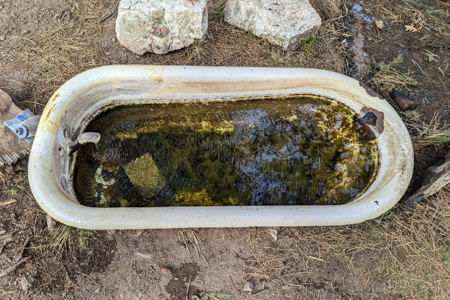
WATER
There are some pretty gnarly water sources along the AZT, so it’s important to pack a reliable water filter that’s easy to clean. We used the Platypus Quickdraw paired with a Smartwater bottle and a Katadyn BeFree. Both of these are microfilters, so they lost flow rate quickly due to all the muddy water we filtered. But both are also pretty easy to clean in the field, so we were happy with our choices.
We also carried chlorine dioxide tabs as backup, which is something we recommend doing for this trail. We met a hiker whose filter had frozen on an unexpectedly cold night. They would have been left without a way to treat their water for a while if they hadn’t also carried a chemical backup.
For water storage, we each had four liters total capacity. We carried two one-liter water bottles each and one Platy Bottle each and a Vargo BOT for extra water capacity if we needed it.
Learn more about the filters and vessels we carried on our lists of the Best Water Filters and Best Water Bottles. Since this is the desert, we consider electrolyte supplements a necessity to help you stay hydrated. Check our Best Hydration Mixes Guide to see our top recommendations.
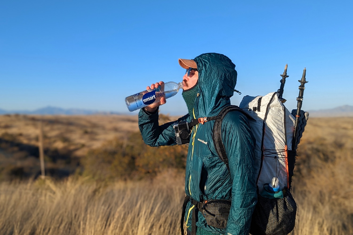
FOOTWEAR
Most hikers choose to wear trail runners for this hike because they’re lightweight, breathable, and comfortable. If you go this route, you should expect to need two pairs because the rocks on the AZT eat through the soft rubber tread and tear up the mesh uppers.
We exhausted a pair of Altra Lone Peaks (men’s / women’s) on this hike and bought a new pair in Flagstaff (a little over 500 miles total into our journey, plus we’d done some smaller, pre-AZT hikes in them). We (and many other hikers we met) were happy with these trail runners because they have excellent grip, low weight, and a wide toe box. A popular option for hikers wanting more cushion between their feet and the rocks would be HOKA Speedgoats (men’s / women’s). Both of these shoes are top picks on our lists of the Best Hiking Shoes for Men and Women.
We also wore Chaco Z/1 Classic Sandals (men’s / women’s) (yes, sandals) which we loved but isn’t something we’d recommend to hikers who aren’t accustomed to wearing sandals on rugged trails. But if you’re curious, you can learn more about them on our lists of the Best Hiking Sandals for Men and Women.
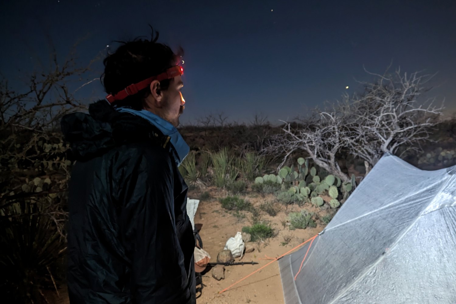
HEADLAMP
We used rechargeable headlamps for this trip – the Black Diamond Spot 400-R and Petzl Actik CORE – and we were happy with both lights. They’re both bright, lightweight, and have a long burn time. The Spot and Actik are some of our favorites and there are even more on our list of the Best Headlamps.
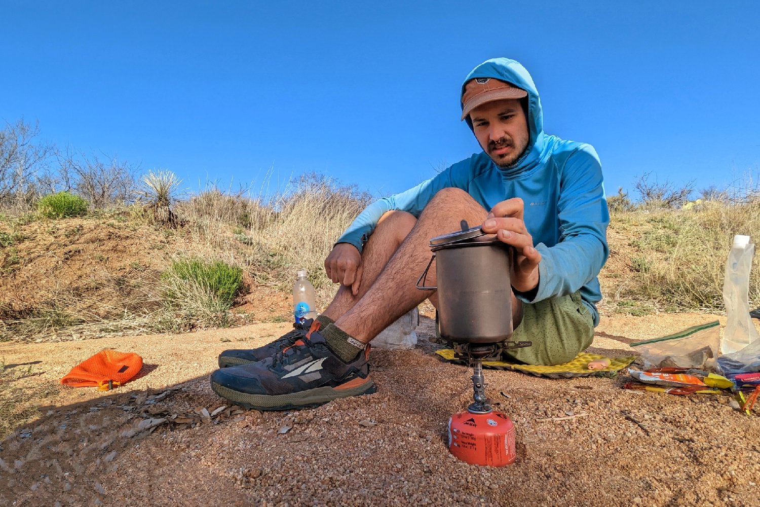
COOKING SYSTEM
We carried a SOTO Windmaster Stove, Vargo BOT, and Toaks Titanium 650 Pot. We loved the stove because it’s often windy on the AZT, and – as the name would imply – the Windmaster works very efficiently in the wind.
The BOT is another favorite because it’s large enough to boil water for multiple meals, it has a screw-on lid that came in handy when we wanted to cold-soak lunch, and it doubled as a water bottle for when we needed extra water capacity. We also carried the Toaks Pot for nights when we wanted to boil water separately, and it’s the perfect option for solo hikers looking to keep pack weight low.
More info on the Windmaster can be found on our list of the Best Backpacking Stoves, and the BOT and Toaks 750 (a slightly larger version of what we carried) are both on our list of the Best Backpacking Cookware.
FOOD & FOOD STORAGE
Check out our Best Lightweight Backpacking Food Guide, Best Freeze Dried Backpacking Meals list, Best Energy Bars list, and our other Food Guides for our top hiker-food recommendations.
We each carried an Ursack Major to keep our food protected from animals. Learn more about it on our Best Stuff Sacks list.
CLOTHING
Below is the list of clothing we recommend for this trail, and you should use it as a guideline to build your ideal clothing system. Ultimately the best clothing to take will be the things you like and that make you feel most comfortable. Head over to our Backpacking & Hiking Clothing 101 post and our Apparel Gear Guides for more advice on putting together your ideal layering system.
- 1 rain jacket (mostly for wind)- Montbell Versalite (men’s / women’s)
- 1 down hoodie (more necessary in the northern half) – Mountain Hardwear Ghost Whisperer/2 (men’s / women’s)
- 1 pair hiking pants – Outdoor Research Ferrosi (men’s) / Mountain Hardwear Dynama (women’s)
- 1 pair hiking shorts – Nike Dri Fit (men’s / women’s)
- 1 hiking shirt – Outdoor Research Echo Sun Hoodie (men’s / women’s)
- 1 fleece top – Senchi Alpha 60 Hoodie
- 1 base layer bottom – Senchi Alpha Leggings
- 2 pairs of underwear – ExOfficio Give-n-Go 2.0 Boxer Briefs / Patagonia Barely Bra & PExOfficio Give-n-Go 2.0 Bikini Briefs
- 2-3 pairs of socks (add thin sock liners if using boots) – Darn Tough Like Hiker Micro Crew, Injinji Trail Midweight & Injinji Liners
- 1 pair rain pants (for wind) – Zpacks Vertice (men’s / women’s)
- 1 warm hat
- 1 pair of gloves – Zpacks Brushtail Possum
- 1 bandana
NAVIGATION
We used the FarOut Arizona Trail Guide which was a crucial tool for finding water. Most AZT hikers use this app, but the ATA also has some great resources that are especially handy for section hikers.
FIRST AID KIT
You should always bring a small, personalized first aid kit when heading into the backcountry. We used a custom kit that we pieced together using the AMK .3 Ultralight Kit, a ton of ibuprofen, a few benadryl tabs, and cut-up strips of RockTape. Check out our Best First Aid Kits list for more info.
SUN PROTECTION
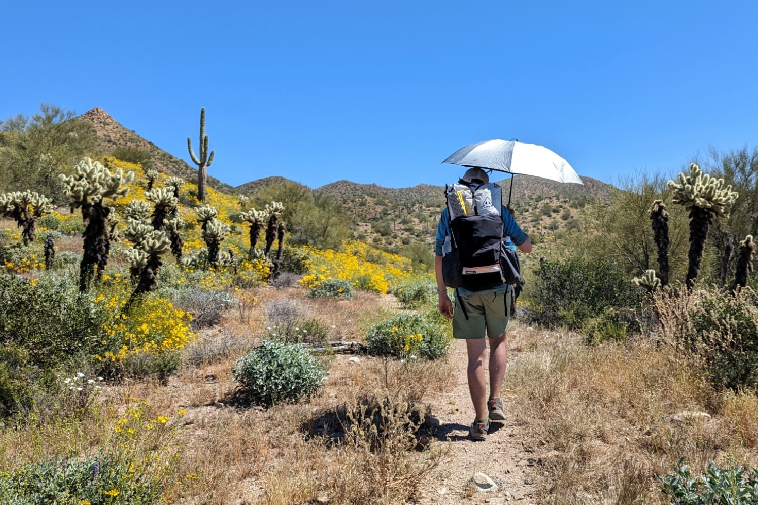
You’ll be exposed to the sun for most of the AZT, and UV rays are intense in the open desert. Polarized sunglasses, sunscreen, and SPF lip balm are all essential, and we were very pleased with our decision to bring sun umbrellas. We also highly recommend wearing a UPF hiking shirt.
POCKET KNIFE
We swap out our pocket knife for a small pair of ultralight scissors on longer hikes, because it’s lighter and more practical for our needs. If you prefer a knife, we recommend the Benchmade Mini Bugout from our Best Pocket Knives list because it’s lightweight and compact. The Swiss Army Classic SD is also a great option if you’re looking for a multitool.
OTHER ITEMS
- Packtowl (face size)
- Pillow
- Therm-a-Rest Z Seat sit pad
- Cash & ID/wallet
- Personal toiletries (trowel, toothbrush, toilet paper, etc.)
- Hand sanitizer
- Camera
For more recommendations on our favorite lightweight backpacking equipment, check out the CleverHiker Gear Guide and our Top Picks page.
Leave No Trace
Preventing and minimizing human impact is crucial to the health of our wilderness. Individually, you may think your fire, shallow cathole, or food scraps in the river aren’t going to harm an ecosystem, but there’s a large cumulative impact.
We share this space with thousands of people hiking along the AZT every year, as well as the diverse array of plant and animal life, so we all need to do our part to protect it. It only takes a few minutes to brush up on Leave No Trace guidelines before you head out.
Become a Member of the Arizona Trail Association
The Arizona Trail Association (ATA) protects and maintains the AZT. Without the hard work of their staff and volunteers, there would be no trail. We highly recommend becoming a donating member of this amazing organization to help ensure the AZT stays around for future generations to enjoy. The ATA also commemorates successful thru-hikers with a handmade copper belt buckle – truly the coolest trail completion gift we’ve ever seen.
More Information
We hope this guide helps you plan an unforgettable journey along the Arizona Trail. For more popular CleverHiker content, check out the following links:
- CleverHiker Gear Guide
- CleverHiker Top Gear Picks
- Essential Trail Skills Videos
- Lightweight Gear Foundations Videos
